Near Bull Creek in Northwest Hills, the Flood Rule Arrived Before the New Map Did
September 17, 2026
September 17, 2026
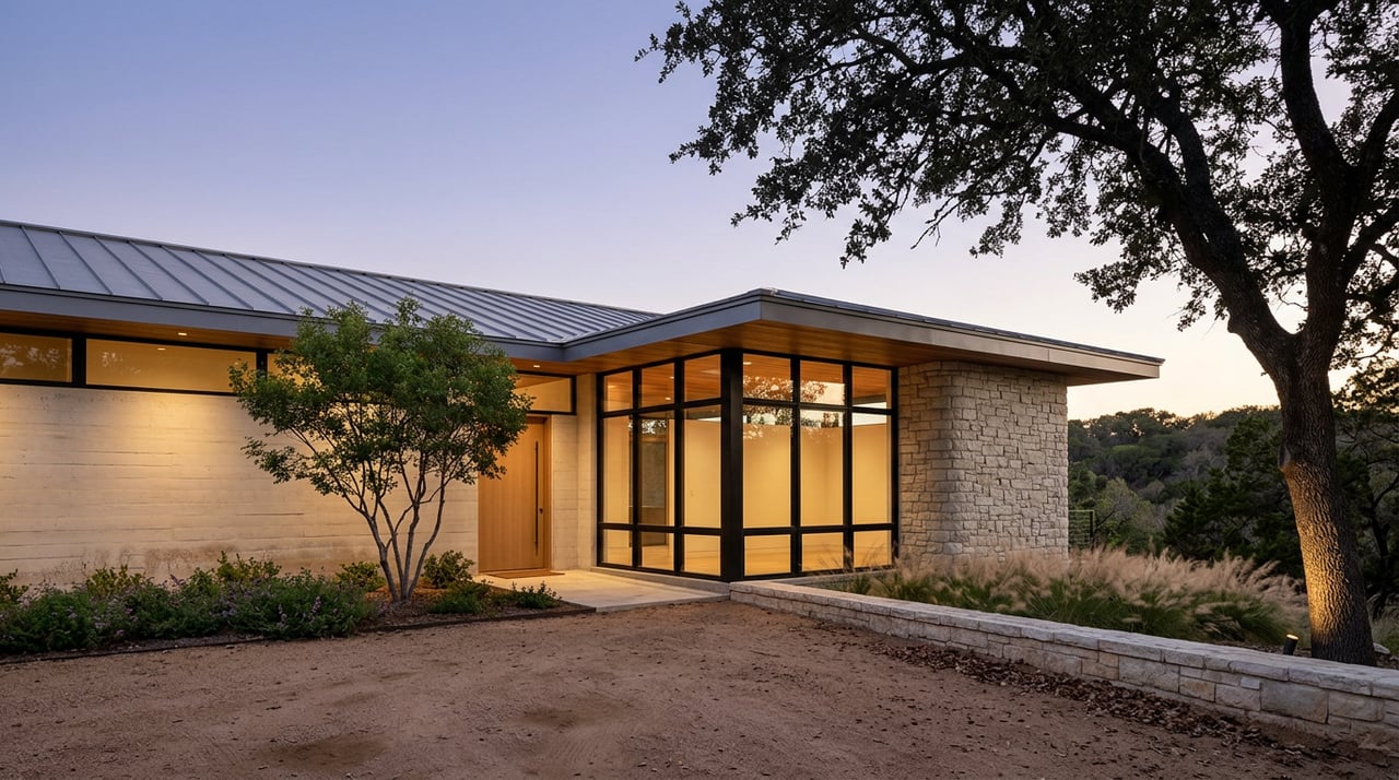
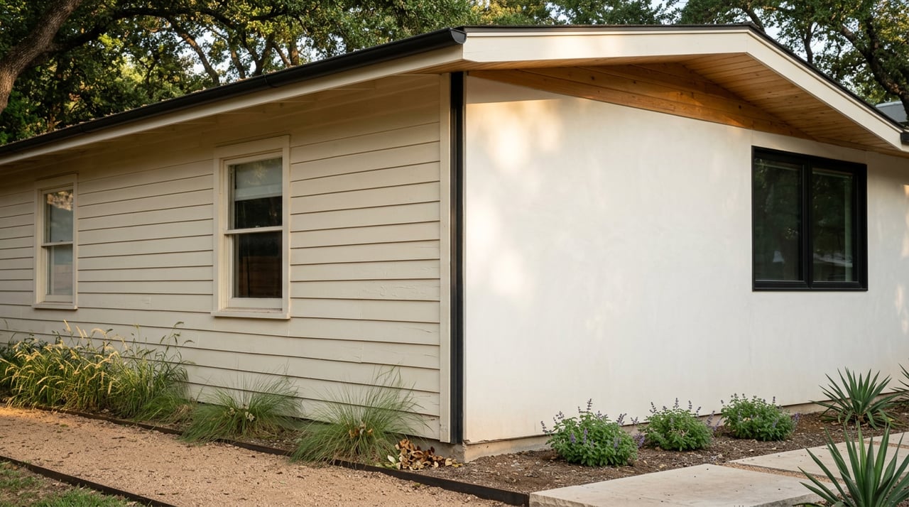
There's a type of lot that shows up again and again in Northwest Hills: a ranch house from the 1960s or 70s, tucked into a limestone canyon off Spicewood Springs Road, oak canopy overhead, a dry creek bed somewhere below the back fence that only runs after a real storm. Pull the FEMA flood map for that address today and it likely comes back clean, an unshaded Zone X, no mandatory flood insurance, nothing flagged. That reading is accurate. It's also incomplete.
Austin's own building code has treated a wider stretch of land as floodplain since an ordinance passed in late 2019, years ahead of the federal map that's supposed to reflect it. The gap between what the currently effective FEMA map shows and what the city actually enforces at the permit counter matters most exactly where Northwest Hills clusters its housing stock: on canyon lots near Bull Creek, where a renovation or rebuild can trip requirements the map never warned anyone about.
In 2018, NOAA finished a historical rainfall study called Atlas 14, and it found that Central Texas storms had gotten bigger than the old data assumed. Austin's floodplain maps had been built around the idea that a 100-year storm meant about 10.2 inches of rain in 24 hours. The city's own floodplain page now describes some areas needing to plan for closer to 13 inches instead.
Rather than wait years for new maps to be drawn and approved, City Council responded in late 2019 by adopting the wider FEMA 500-year floodplain as an interim regulatory standard for development review. That interim standard is still the one in use today. Austin's Watershed Protection Department describes the citywide remap as an ongoing effort, with the 500-year floodplain remaining the working proxy until new locally calculated maps are finished.
What that means at street level: the map your lender or title company pulls, and the map a city plan reviewer checks against when you file for a permit, aren't necessarily the same document right now. A parcel can read Zone X for insurance purposes and still sit inside the floodplain Austin actually regulates.
Before 2019, buildings anywhere in Austin needed to sit just 1 foot above the mapped floodplain, except downtown, which required 2 feet. The 2019 ordinance raised that structural standard to 2 feet citywide. It's now written into the adopted building code as a straightforward freeboard requirement for a finished floor. A separate, lower threshold still governs how high the safe access to a building, the driveway or walkway that gets you in and out during a flood, needs to sit above the same floodplain elevation.
| Building element | Required freeboard | Basis |
|---|---|---|
| Finished floor of a substantially improved or newly built structure | 2 feet above the 100-year floodplain | Late-2019 ordinance, now part of the adopted building code |
| Safe pedestrian and vehicular access | 1 foot above the regulatory flood datum | Existing city floodplain regulations |
Two numbers, two purposes. A renovation plan that only accounts for one of them is only half reviewed.
The ordinance created an immediate problem the day it passed. A city floodplain administrator explained at the time that plenty of existing homes were already out of compliance with both the new access and freeboard standards the moment the rule took effect. Without an exception, a homeowner wanting to add a bedroom or expand a kitchen would have needed a variance from City Council, even if the addition itself met the freeboard requirement on its own.
So the revised ordinance built in a residential improvements waiver. City staff, not Council, can approve an addition or renovation as long as the new work meets the freeboard standard, even if the property as a whole can't fully meet the safe-access threshold, provided the project doesn't increase the structure's actual flood risk.
This is the detail that matters for a canyon lot near Bull Creek. Limestone terrain doesn't regrade cheaply, and plenty of driveways on these lots will never clear the 1-foot access standard no matter what gets built. That isn't automatically a dealbreaker. It does mean the floodplain review needs to happen before a contractor prices the job, not after framing starts.
This isn't a paperwork exercise layered onto a quiet creek. In September 2010, Tropical Storm Hermine produced rainfall over portions of the Bull Creek watershed that approached a 100-year event. Watershed Protection currently has an active project modernizing the Old Lampasas Dam, located on a tributary of Bull Creek off Spicewood Springs Road, the same corridor that runs through the heart of Northwest Hills. A department doesn't upgrade dam infrastructure on a creek it considers settled.
A cosmetic remodel, new kitchen, new baths, updated systems, mostly stays outside floodplain review. The math changes once a project crosses into substantial improvement territory or becomes new construction. At that point the 2-foot freeboard standard applies to the finished floor.
On a flat lot, that's a modest add to slab height. On a sloped canyon lot where the lowest habitable floor already sits close to a drainage easement, 2 feet of additional elevation can mean a different foundation system, retaining wall work, or rethinking how the house steps down the site. That's a cost line a contractor's cosmetic-scope estimate won't capture unless someone runs the floodplain numbers first. A ground-up rebuild can design the elevation in from day one, but the buildable envelope on a canyon lot may end up sitting higher and further back than the footprint of the house it replaces.
Insurance follows the same logic. Austin homeowners insurance in 2026 averages around $2,200 a year for $300,000 in dwelling coverage, and rates run higher in flood-prone pockets near creeks like Bull Creek. A standard homeowners policy doesn't cover flood damage in any zone. A flood insurance quote is worth getting on a Bull Creek-adjacent lot even when today's FEMA map doesn't require one.
Does a Zone X reading mean the property is exempt from Austin's floodplain rules? Not necessarily. Zone X on the currently effective FEMA map means a federally backed lender won't require flood insurance, but it doesn't guarantee the parcel falls outside the wider floodplain Austin currently uses as its own regulatory standard.
When will new FEMA maps catch up to the city's rule? Austin's Watershed Protection Department describes the Atlas 14 remap as an ongoing citywide effort without a fixed completion date announced as of this writing. Until new maps are adopted, the city continues using the 500-year FEMA floodplain as its interim standard.
Does this apply to every home in Northwest Hills, or just the ones on the creek? The freeboard and floodplain review rules key off a parcel's relationship to the mapped or interim floodplain, not general proximity to the neighborhood. A canyon lot backing directly to Bull Creek or one of its tributaries carries a very different exposure than a home a few streets over on higher ground.
If you're weighing a Northwest Hills purchase near Bull Creek, whether the plan is a light remodel or a full rebuild, the floodplain math is worth running before the offer, not after the option period starts. That's exactly the kind of assessment where an architect's eye and a broker's process should be doing the same job at once. Ed Hughey can walk the lot with you and help you read what the map isn't telling you yet. Let's Connect.
Stay up to date on the latest real estate trends.
Working with Ed means partnering with a real estate professional who brings a strategic, design-informed approach to buying and selling homes in Austin. As a licensed Realtor with a deep understanding of residential construction, renovation potential, and city code, Ed helps clients identify value, assess opportunities, and make confident, informed decisions in a competitive market. Known for clear communication, honest guidance, and strong negotiation, Ed is committed to protecting his clients’ interests while delivering a seamless, results-driven real estate experience from start to finish.